

Welcome to this web application.
This application performs Spatial Mult-criteria Analysis.
In this application, the data are analysed using only the linear weighted combination method
To start the analysis you have to click on the "accept disclaimer" button, then Let’s select the project.
While every effort has been made to produce a good quality application, this application is provided ‘as is’ with no guarantee. ANY EXPRESS OR IMPLIED WARRANTIES, INCLUDING, BUT NOT LIMITED TO, THE IMPLIED WARRANTIES OF MERCHANTABILITY AND FITNESS FOR A PARTICULAR PURPOSE ARE DISCLAIMED.
For more information contact Alessandro Gimona, email: alessandro.gimona@hutton.ac.uk


For more information contact Alessandro Gimona, email: alessandro.gimona@hutton.ac.uk
Information to follow if you try to upload your own data :
The file must be in .zip format and must contain:
~ two text files (one for negative and for positive ) composed by
Number File Nickname Description
Even if you have no negative file
Number begins with 1, File is the name of the pictures with the extension
~ if you have hard contraints files, a text file named Hard_Constraint.txt composed by
Number File Nickname Description
with the hard constraints pictures
~ a TIF file named extent delimiting the area of the data
~ a text file named index and composed of a single line with: the name of the folder without extension ( Attention to upper/lower case.), an adjectif, description, the name of the positif file and the name of the negatif file
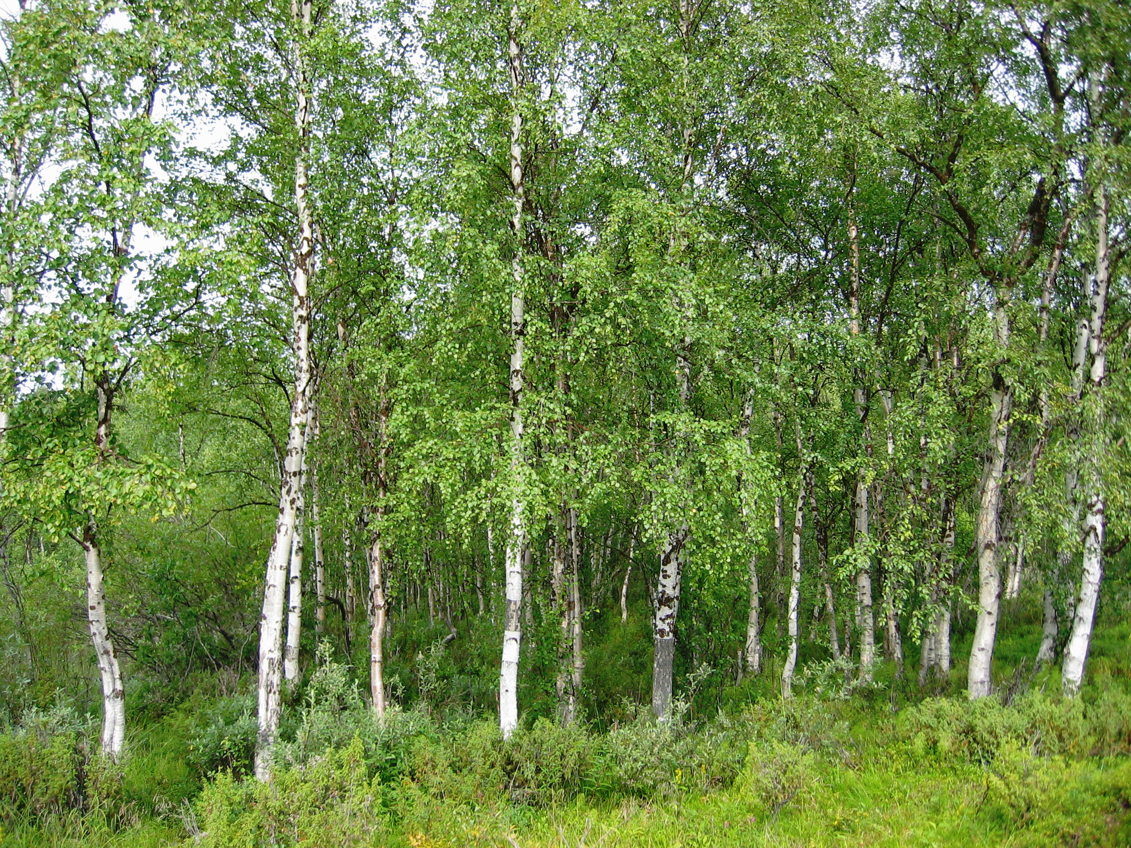
Information about the data for "forest" :
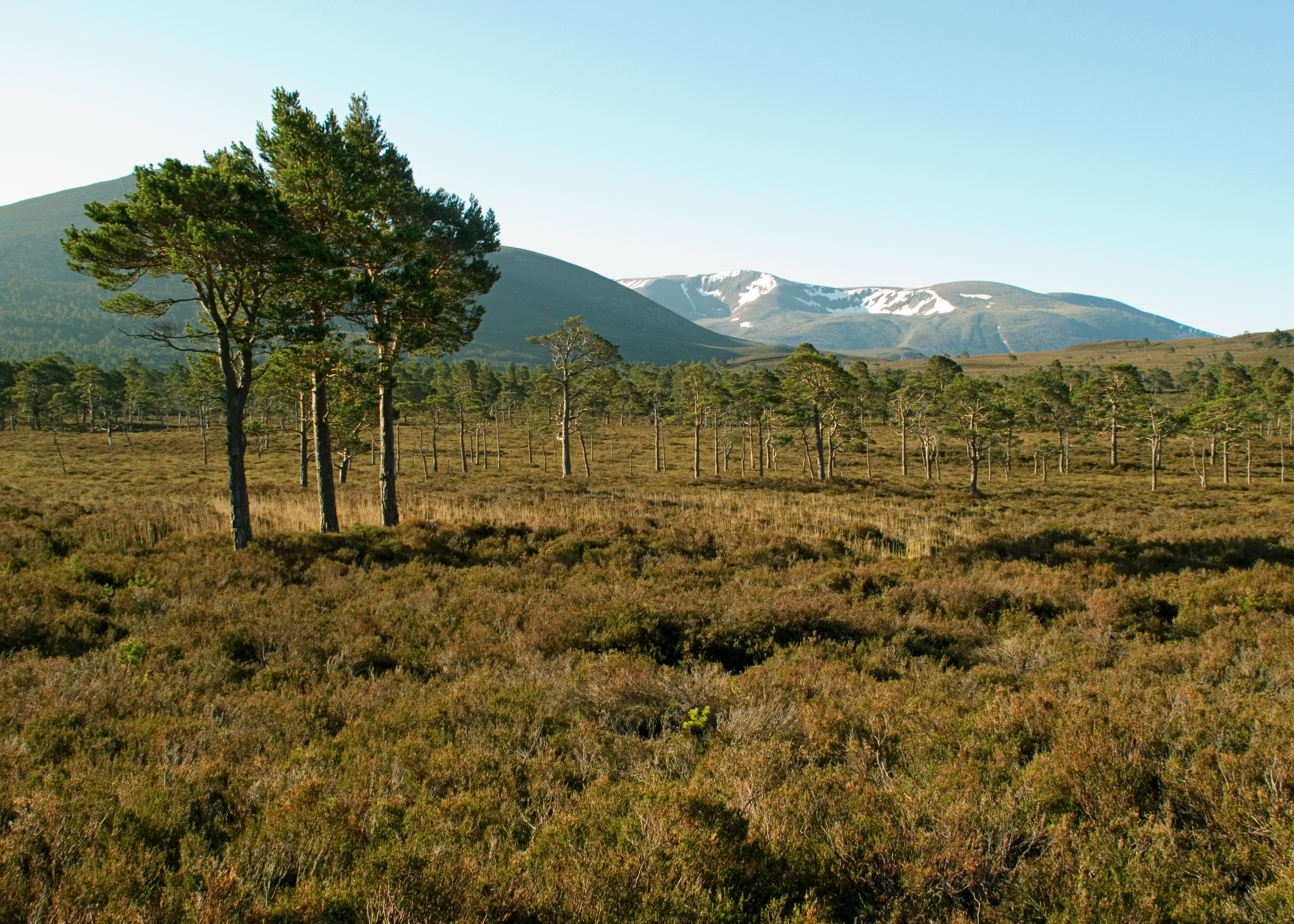
Information about the data for "peatlands" :
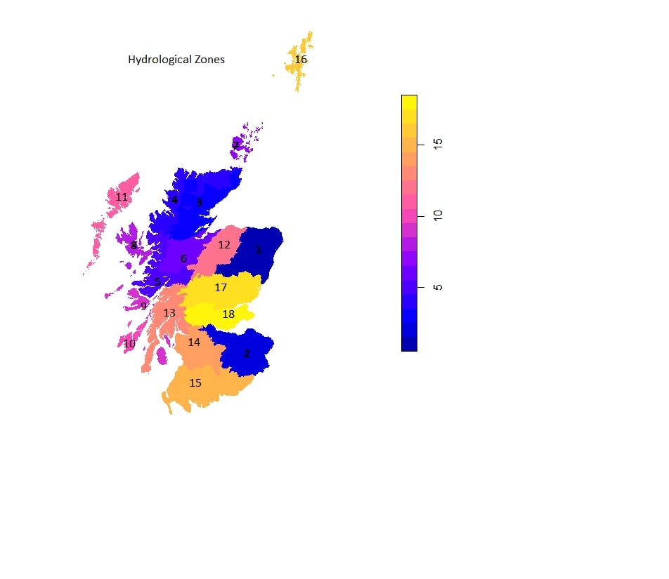
Information about the data for "zones" :
Criteria
Mapping area
The best value is 1 (blue) and the worst 0 (red) for the project chosen Expansion considering these criteria, the weights selected and the chosen method
Mapping area
Best pixels under the threshold are in blue, the others are in red.
Mapping area
Click on the map to retrieve site coordinates to upload to the Ecological Site Classification (ESC) tool .